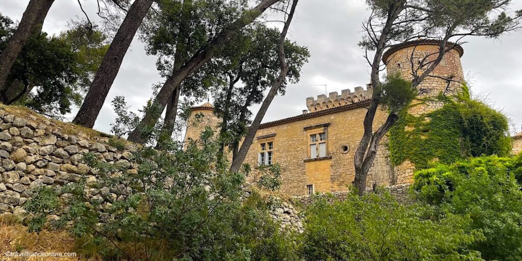
St Affrique, inhabited since the Neolithic
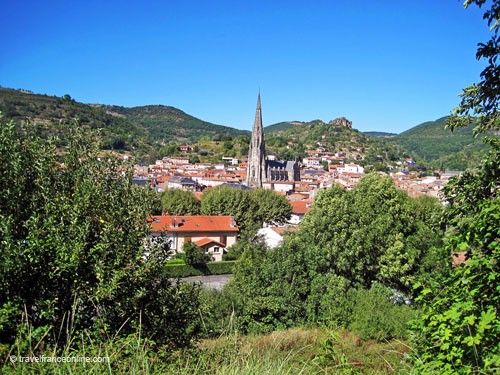
St Affrique is a picturesque medieval town nestled at the foot of seven hills that overlook the Sorgues Valley.
The abundance of finely carved statues-menhirs and dolmens scattered in the surrounding villages and communities shows that the region has been inhabited since the Neolithic period.
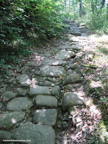
The presence of a remarkably well-preserved Roman road, known as the Chemin des Crêtes (Crest Road), attests that the town evolved into a thriving settlement during the Roman era, twenty centuries ago.
This ancient road begins near the fire station and climbs the hill into the forest, following the crests of the surrounding hills. Despite the passage of time, significant sections remain intact, and still bear the imprint the the cartwheels carved in the paving stones.
Alfric, Bishop of Comminges
The origin of the name St Affrique often intrigues, because despite its spelling, it has no connection to Africa!
In reality, the town owes its name to the Bishop of Comminges, Affrique (also known as Fric, Alfric, or Affricanus), who evangelised the region in the 5th century.
The first village was most likely established at the foot of the Rocher du Caylus, one of the seven hills surrounding the town.
This rocky spur was home to the medieval fortress of Caylus, the fortress the lords of Caylus constructed in the High Middle Ages. This stronghold disappeared in the 13th century.
The medieval town
Medieval texts attest that, in the 13th century, the town was already known as St Affrique.
The property of the Counts of Toulouse, it was fortified during the Hundred Years’ War. The Rouergue region, which at that time encompassed Aveyron and the town of St Affrique, came under English control with the Treaty of Brétigny in 1360.
During the Wars of Religion in the 16th century, a significant portion of St Affrique’s population converted to Protestantism. Despite this, a spirit of tolerance prevailed among the inhabitants, aimed at preventing internal conflicts between Catholics and Protestants.
However, in 1628, the town was besieged by the troops of the Catholic Prince de Condé. Although this assault failed, it marked a turning point, because in 1629, King Louis XIII officially restored Catholicism and ordered the dismantling of Protestant fortified towns throughout the kingdom.
In accordance with this directive, the ramparts of Sainte-Affrique were thus razed in 1655, except for two towers that were already incorporated into the existing structures. Boulevard Victor-Hugo and Boulevard de la République now occupy the site of the former moats.
What to see in St Affrique?

In 1854, a cholera epidemic struck the town, forcing its inhabitants to flee.
To prevent future epidemics and invoke protection, the residents added niches housing votive statues of the Virgin Mary. These niches still adorn many building facades in St Affrique.
Construction of the Pont Neuf, also known as the Pont de la Liberté (Liberty Bridge), began during the French Revolution and was completed in 1810.
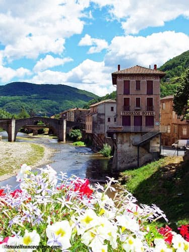
Until then, the Pont Vieux (Old Bridge), built in 1270, was the only crossing over the river. A superb example of medieval architecture, it was listed as a historical monument in 1886.
The Pont du Centenaire (Centenary Bridge) was erected in 1889 to mark the centenary of the Revolution, and the Pont de la Résistance (Resistance Bridge) was inaugurated in 1974 to ease traffic on the other bridges.
The Neo-Flamboyant Gothic Notre-Dame-de-la-Miséricorde Church (Church of Our Lady of Mercy) was consecrated in 1913. It replaced the former church dedicated to Saint Affrique and is adorned with a series of stained-glass windows illustrating the life of the holy man. Its 71-m-tall spire soars above the town’s rooftops.
The city has seen the development of various industries that contributed to its prosperity, such as dairy farming, sheep breeding, and the production of leather and textiles, which flourished particularly in the 18th century.
Today, the local economy relies heavily on the breeding of Lacaune ewes, renowned for their high milk production, primarily used in the production of AOC Roquefort cheese.
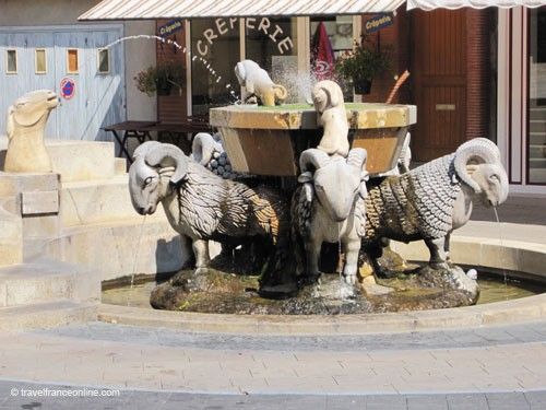
Many residents indeed work in the Roquefort caves or in the dairies of the valley. A fountain adorned with statues of rams, located in the town hall square, pays homage to the importance of sheep farming for the local community.
Aveyron department
Coordinates: Lat43.958190 – Long 2.887126