Gorges de la Jonte – spectacular canyons
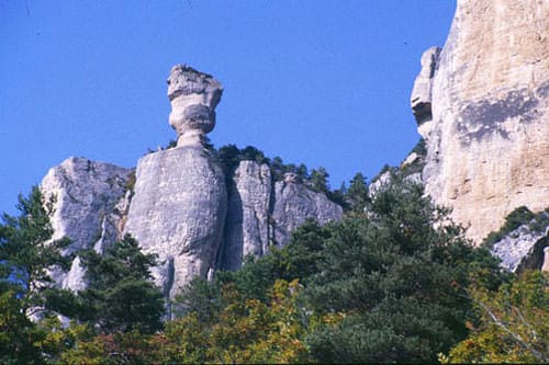
The Gorges de la Jonte, located in the Cévennes mountains range in Aveyron, are a series of spectacular, steep canyons.
Despite its relatively short length (less than 38 km), the Jonte River has indeed carved its course through the limestone plateau of the Grands Causses Regional Natural Park and the western entrance to the Cévennes National Park.
Although perhaps less well-known than the Tarn Gorges further north, the Jonte Gorges are no less impressive and boast an untamed beauty, which has earned them a place on the UNESCO World Heritage List.
Untamed Horges de la Jonte
The Jonte River forms a natural border, separating the departments of Lozère to the north and Aveyron to the south.
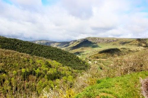
The river flows underground for a 7-kilometre stretch before reappearing at Douze, then joining the turbulent waters of the Tarn at Le Rozier.
Its banks are dotted with charming tiny villages, as well as the remains of former textile mills that produced silk, wool, and cotton. These mills were established in the 19th century to harness the power of the river’s swift waters.
This wild, rugged, and difficult-to-access landscape also served as a refuge for Protestant Huguenots fleeing persecution.
A popular destination for nature lovers
The region’s economy is primarily based on tourism and agriculture.
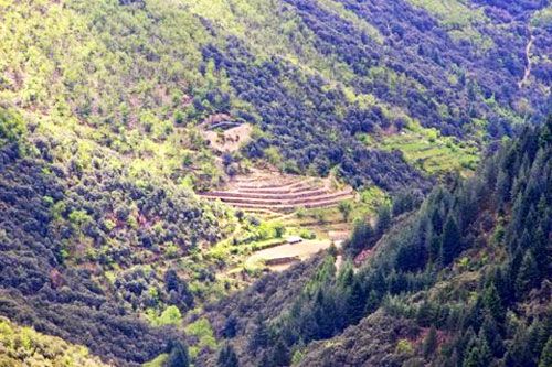
The Gorges de la Jonte have, of course, become a popular destination for campers, climbers, and birdwatchers. Farmers, for their part, have implemented a system of terracing to cultivate their crops on the steep slopes, as this is the only viable method for farming.
You will also find a weather station perched at an altitude of 1,567 metres, offering breathtaking panoramic views of the Causse plateau and, on a clear day, even extending to the Mediterranean Sea.
During your hikes, a mountain trail will lead you to the Col du Pas (833 m), an isolated crossroads marked by an imposing Cross of Lorraine. This cross marks the spot where local Resistance fighters found refuge in this rugged terrain during the Second World War.
Department of Aveyron
Coordinates Gorges de la Jonte: Lat 44.200790 – Long 3.348745
Photos via Wikimedia Commons: Cheminée de Fée by Ziegler175 CC BY-SA 3.0 – Header by W. Bulach CC BY-SA 4.0 – Other photos ©melangedmagic – Evelyn Jackson