
Hooge
The Hooge Crater is located approximately 4 kilometres east of Ypres. The village of Hooge was located on the Menin road, which connected Ypres to Menin.
This route was also used by Allied troops heading towards the front. As a result, it suffered constant German artillery bombardment during the battles of the Ypres Salient.
Hooge was of major strategic importance, and its control was crucial to both the Germans and the Allies, as it was directly on the front line. This made it the scene of intense fighting that continued until 1918, causing a considerable number of casualties and transforming the village and its surroundings into a field of ruins.
After the war, the village of Hooge was rebuilt farther along the road to Menin.
Hooge Crater Site
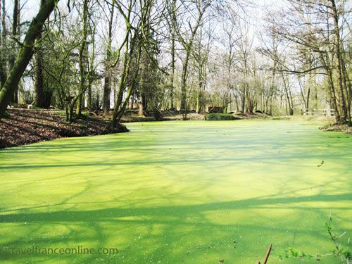
The original Hooge Crater was flooded in the 1920s.
The current crater was formed by the merging of three smaller craters, which were flooded and preserved in their wartime state as a memorial.
A half-submerged German bunker is still visible at one end of the crater.
Today, the site of the Hooge Crater is on the grounds of the Kasteelhof Hooghe, a hotel-restaurant built near the manor’s old stables.
Entry to the site is free, with a donation box at the entrance for maintenance costs.
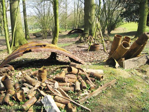
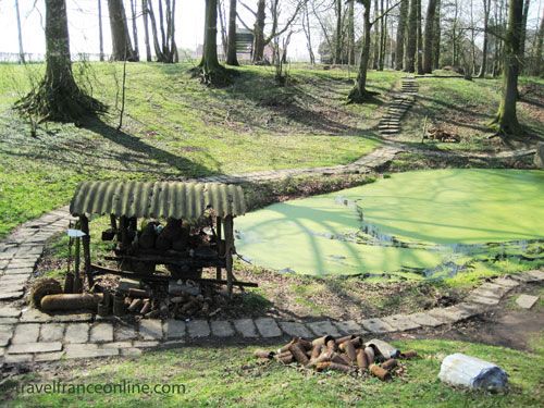
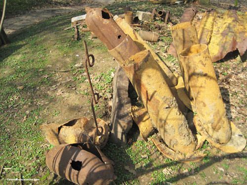
A trail circles the water-filled crater, winding through a network of preserved trenches. Many remnants of the war are still in place and on display along the trail.
The size and number of these remains, as well as the photos on the information panels scattered around the site, illustrate the intensity of the fighting.
One of the bunkers built in 1916, located near the entrance, is accessible.
The others are partially or totally submerged. From this viewpoint, you can see the sad remains of the Bellewaerde amusement park, which was built on the site.
Hooge Crater and Château
At the start of the conflict, Major-General Monro established his divisional headquarters at Hooge Castle. However, a direct hit from a German shell obliterated the castle on October 31, 1914. This devastating attack resulted in death or injury among most of the officers and staff. The Germans eventually captured Hooge Castle following an offensive that lasted from May 24 to June 3, 1915.
Hooge Crater
A massive explosion created the Hooge Crater on July 19, 1915.

The British aimed to destroy the concrete fortifications the Germans were building with a precise, targeted attack.
The 175th company of sappers of the Royal Engineers dug a 57-metre-long tunnel over five and a half weeks. The 3rd Infantry Division then placed a 1,700-kilogram ammonal charge under the German fortifications.
At 7:00 PM on July 19, 1915, the largest mine of the First World War exploded, creating a 40-metre-wide and 6-meter-deep crater.
The explosion killed hundreds of Germans, as well as a dozen Commonwealth soldiers buried under the rubble.
The 1st Gordon Highlanders and the 4th Middlesex immediately attacked and seized the newly formed crater.
However, on July 30, 1915, at 3:15 AM, the Germans launched a surprise, fierce counter-offensive and recaptured the Hooge Crater.
The German assault began in the area now between the crater and the fence of the ruined amusement park, using flamethrowers, a weapon that was new and formidable at the time.
These flamethrowers projected 23-metre-long jets of flame, accompanied by thick black smoke, taking Commonwealth soldiers by surprise.

The 8th Rifle Brigade and the 7th Battalion of the King’s Royal Rifle Corps were driven back towards the Hooge Crater Cemetery.
However, the British 6th Infantry Division recaptured Hooge Crater on August 9, 1915.
The Germans attacked again in June 1916 at the Battle of Mount Sorrel.
The British 8th Infantry Division recaptured Hooge Crater on July 31, 1917, breaking through German lines for a distance of approximately 1.5 kilometres.
Although the Germans recaptured it in April 1918, the British forced them to retreat permanently on April 28.
Hooge Chapel Museum
The Hooge Crater Museum is a private museum that opened in 1994.
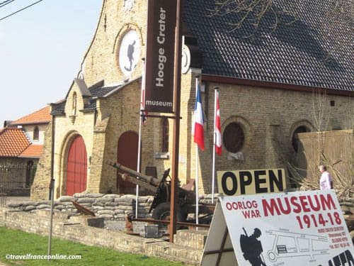
It is housed in a chapel built in 1920 along the Menin road, near the crater.
A family from the village bought the dilapidated chapel and the old school, which they restored for their current use.
Today, the chapel thus houses the museum, the old school, and a themed cafe. Sandbags, reminiscent of trenches, line its entrance.
The Hooge Crater Museum features many unique collections of First World War artefacts, both indoors and outdoors.
Hooge Crater CWGC Cemetery
Sir Edwin Lutens designed the cemetery, which is located opposite the Hooge Crater.
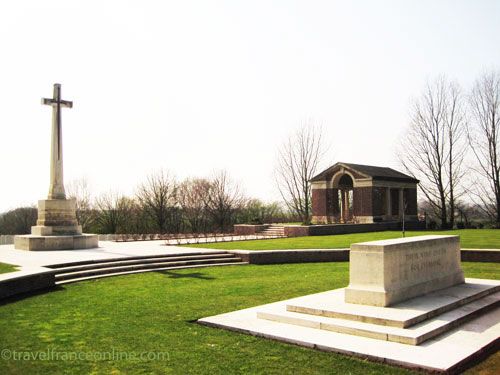
Opened in October 1917 as a military cemetery, it was initially used to bury men who died during the assault on Hooge Crater.
It was enlarged after the war to gather and rebury with military honours all the soldiers buried in the many mass graves in the region.
Today, the Hooge Crater Military Cemetery (CWGC) has 5,892 graves.
Among them are 5,153 British, 509 Australians, 119 New Zealanders, 95 Canadians and 2 soldiers from the British West Indies.
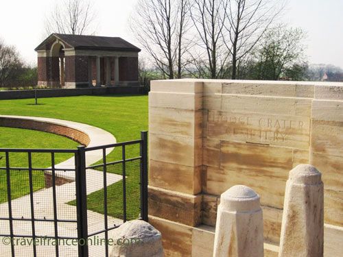
In addition, 45 commemorative stelae honour the memory of soldiers presumed to be buried on the site, but whose graves were destroyed during the war.
Sadly, two-thirds of the soldiers buried here remain unidentified.
The Stone of Remembrance stands in the centre of a circle near the entrance.
The circular lawn is surrounded by a stone wall reminiscent of the Hooge crater.
The Cross of Sacrifice stands at the edge of the “crater”, facing the central path and the thousands of white tombstones.
Belgium
Coordinates: Lat 50.846197 – Long 2.945715


