Gouffre de Saint-Sauveur, a river resurgence with emerald waters
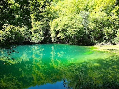
The 25-meter-wide pool of the Gouffre de Saint-Sauveur, with its vibrant emerald waters, never ceases to amaze and enchant visitors.
This natural gem, the resurgence of the small Ouysse River, is nestled near Calès, a charming village in the Lot department, in the heart of the Causses du Quercy Regional Natural Park.
Fed by the seepage from the Causse de Gramat plateau, the Ouysse widens before flowing gracefully into this natural pool nestled amidst lush vegetation.
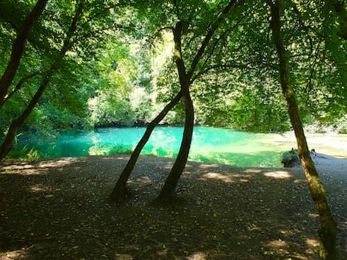
Here, the crystal-clear waters gently flow over a sandy bottom, reflecting the vivid hues of the sky and surrounding trees. The result is a breathtaking emerald colour, reminiscent of the serene beauty of tropical lagoons.
A tributary of the Dordogne, the Ouysse conceals much of its route underground, maintaining the mystery of its journey. Indeed, despite numerous speleological expeditions, only fragments of its subterranean bed have been mapped. The canyons it traverses are often too deep and inaccessible to be fully explored. As a result, its exact course remains a fascinating enigma, and its length estimated at 42 kilometres. From time to time, it briefly resurfaces before plunging back into the depths of the rock.
Gouffre de Saint-Sauveur, one of the river Ouysse many resurgences
The Ouysse River begins its course at an altitude of 378 meters near the village of Anglars, nestled in the northern Lot region, at the foot of the Massif Central.
For 9 kilometers, it meanders through the Ségala and Limargue regions, fed by numerous tributaries. At Thémines, the Ouysse disappears abruptly into the depths of the Causse de Gramat plateau, where it carves majestic canyons into the limestone.
Underground, the river is fed by a network of underground springs, which gives it the name Rivière des Vitarelles. It reappears intermittently downstream, however, as resurgences.
Among the most notable are the Puymessens Chasm during floods, as well as Fontbelle, Cabouy, and the Gouffre de Saint-Sauveur, which punctuate its underground course with brief appearances.
Two fortified mills bear witness to the region’s rich past. Today, the Moulin de Caoulet has been turned into a fish farm, while the Moulin de Cougnaguet has been carefully restored and is now open to the public.
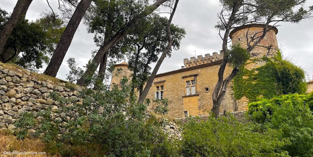
Lot department
Coordinates Gouffre de Saint-Sauveur: Lat 44.792706 – Long 1.569757