
Ile de Noirmoutier, an island off the coast of Vendée

The Ile de Noirmoutier, located south of the Baie de Bourgneuf, is a continental island with a unique geographical situation.
Separated from the mainland by the 450 metres wide Détroit de Fromentine (Strait), this bay, also known as the Baie de Bretagne, stretches from Pointe Saint-Gildas, near the Loire estuary, to Beauvoir-sur-Mer in the south.
This enclave was, millennia ago, submerged by a vast, shallow sea. Over time, alluvial deposits from the rivers Loire and the Charente contributed to the formation of Bourgneuf Bay, characterised by its shallow waters and numerous islands and islets.
Throughout the centuries, the accumulation of sediment also led to the gradual silting up of the bay, despite its constant sea level, causing periodic flooding at high tide and isolating the various landmasses.
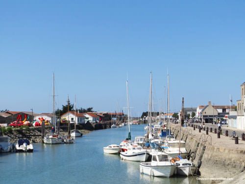
Thus, during the Middle Ages, paving and salt marsh development projects led to the connection of many islets to the mainland. However, the Ile de Noirmoutier remained separated from the mainland due to its size and its location as the westernmost island in the bay.
An island of low lands
The Ile de Noirmoutier is certainly the largest of the ancient islands that once dotted the Bay of Bourgneuf, but its dimensions remain relatively modest.
A mere 18 kilometres long and 12 kilometres wide at its widest points, it offers a compact yet diverse landscape.
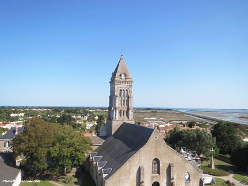
The northern part of the island features rocky terrain rising between 15 and 20 metres above sea level, and boasts picturesque panoramas and wild landscapes.
However, the southern region is a land of plains, dunes, and vast sandy beaches.
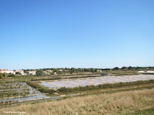
The salt marshes, located at sea level, are carefully managed and protected by a network of dikes and polders established in the 17th century.
Noirmoutier-en-l’Île, the island’s main town and principal village, has a rich and eventful history. The only settlement on the island until the early 19th century, it now covers the northern third of the island, while four other municipalities have developed over time.
Passage du Gois
In 1971, the construction of a bridge spanning the Détroit de Fromentine was a major breakthrough, establishing a vital and continuous link between the Ile de Noirmoutier and the mainland.
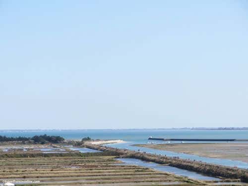
Until then, the Passage du Gois was indeed the only access point, and quite a perilous one, as this natural causeway is completely submerged at high tide!
As a result, travellers, were and are often caught off guar by the rising waters. For those without amphibious vehicules (most of us I presume!), safely crossing the Passage du Gois requires careful planning!
It is indeed absolutely essential to check the tide times table before venturing on this causeway to avoid finding yourself in the middle of the sea!
An island with a dream climate
The Ile de Noirmoutier, located in the Atlantic Ocean, enjoys an idyllic climate characterised by mild winters and temperate, sunny summers.
This exceptional climate is perfectly suited to the mimosa, which blooms in the middle of winter, much like on the French Riviera. It is these shrubs that have earned the island its charming nickname, Ile aux Mimosas.
These blessed climatic conditions also provide an ideal environment for potato cultivation. Thriving in the sandy soil enriched with seaweed, the potato is a staple crop on the island, contributing to its agricultural prosperity.
Finally, the abundant sunshine also plays a vital role in the operation of the island’s salt marshes, ensuring regular and even evaporation of water, a process essential for salt production.
With such favourable conditions, we can say that the Ile de Noirmoutier has all the makings of a paradise island, blessed by the bounty of nature!
Abbey of Noirmoutier on the Ile d’Her
Traces of human occupation dating back to prehistoric times have been found on the Ile de Noirmoutier.
However, it was only in 674 AD that the island saw its first significant settlement, with the founding of a Benedictine monastery by Abbot Philbert of Tournus (Saint Philbert).
The monks undertook ambitious land reclamation projects, creating a complex network of dikes to develop the salt marshes.
This first settlement, known as the Moutier d’Herus – Monastery of Her, later acquired the nickname Monastère de Noir Moutier (Black Moutier) due to the dark colour of the monks’ robes.
The monks fortified their sanctuary during the Viking raids in the 9th century. However, the Norsemen succeeded in invading the island.
They destroyed the monastery and set up camp, using the island as a base for raids along the Loire River.
The monks fled, taking with them the precious relics of Saint Philbert. They found refuge in the abbeys of Cunault-sur-Loire, Messac in Poitou, Saint-Pourcain-sur-Sioule in Auvergne, before they finally settled in Tournus in Burgundy, where they founded the Abbey of Saint-Philibert.
The Abbey of Noirmoutier was later reduced to the status of a priory and placed under the authority of Tournus Abbey.
In 1205, a community of Cistercian monks founded the Abbey of La Blanche in Noirmoutier-en-l’Île, named for their distinctive white robes. This abbey flourished until the French Revolution, when it was closed like most other religious institutions in France.
Château of Noirmoutier
The history of the castle begins with the Viking invasions, when the monks of Noirmoutier erected a wooden defensive tower around 830.
This structure was later rebuilt in stone in the 12th century, and evolved into the current Château de Noirmoutier.

A perfect illustration of the medieval military architecture, it boasts a central keep, a fortified courtyard, and imposing defensive towers surrounded by high walls.
Throughout history, the island remained under the jurisdiction of the Lordship of Garnache, located inland, near Châteauneuf.
Its strategic importance, off the French coast and south of the Loire estuary, made it a coveted site throughout the centuries.
The castle thus withstood numerous attacks, notably English attacks during the Hundred Years War and then Spanish invasions in the 16th century.
However, it eventually fell into the hands of Dutch forces in 1674 and changed hands several times before being acquired by Louis XV in 1767.
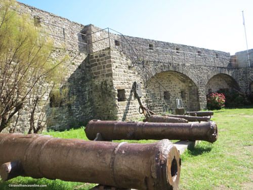
It was not destroyed during the French Revolution, but served as a prison, then as a military barracks in the 19th century.
In 1960, the Governor’s House was buil in the inner courtyard, although its occupants likely found the old castle walls austere and inhospitable.
Today, Noirmoutier Castle is a listed historical monument. It belongs to the municipality of Noirmoutier-en-l’Île and is home to the castle museum in its keep.
A lovely little island in the Atlantic Ocean
Maritime activities, such as fishing, aquaculture, oyster farming, and sea salt production, form the backbone of Noirmoutier’s economy.
The island has three ports: Noirmoutier-en-l’Île, L’Herbaudière (a modern fishing port with deep-water access), and L’Épine, also known as Port de Morin, a floating port.
The salt marshes, established by Benedictine monks in the 7th century, have seen considerable expansion. Sea salt and fleur de sel are still harvested there using traditional methods.
After a decline in the 1980s, the sector has since experienced a resurgence. Today, the Ile de Noirmoutier has around one hundred sea salt producers.
These producers have signed contracts with Aquasel that guarantee long-term price and production volume stability.
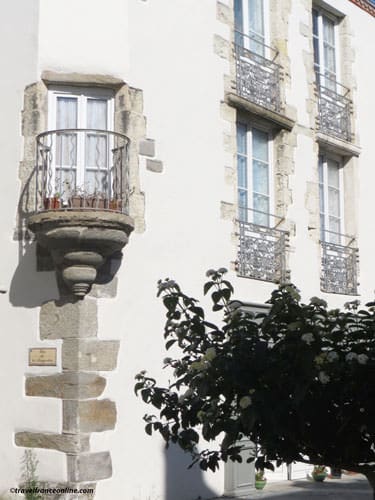
Beyond its iconic castle and church, Noirmoutier-en-l’Île boasts magnificent private mansions and charming maritime architecture.
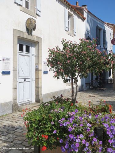
Its streets are indeed lined with white houses with blue shutters and flower-filled balconies, overlooking picturesque courtyards and old wells.

The Quai de l’Estacade du Bois de la Chaize, a long wooden jetty built in 1885, played a pivotal role in the development of seaside tourism at the end of the 19th century.
Today, the island’s climate and natural beauty continue to attract visitors, ensuring the vitality of coastal tourism.
The island’s climate and natural beauty make Noirmoutier Island an ideal destination for a day trip or longer stay.
Department of Vendée
Coordinates: Lat 46.987248 – Long -2.269282


